
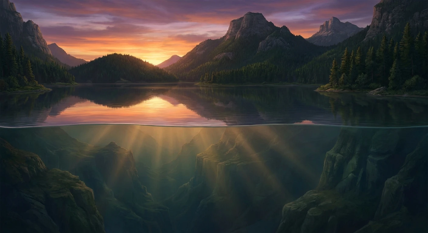
How Deep Is Lake George: The Queen of American Lakes
If you are planning a boating trip or simply curious about upstate New York’s geography, the first question on your mind is probably how deep is Lake George. Known affectionately as the Queen of American Lakes, this massive body of water stretches roughly 32 miles through the pristine Adirondack Mountains. Understanding the true depths of this lake is essential for anyone looking to navigate its waters, fish its lower basins, or simply appreciate the massive geological forces that shaped it.
Lake George is not just a uniform basin of water. It features a complex underwater landscape filled with dramatic drop-offs, sunken islands, and deep, dark trenches that maintain frigid temperatures year-round. Boaters rely on bathymetric maps to avoid sudden shallow shoals, while seasoned anglers use depth knowledge to track cold-water fish species during the hot summer months. The sheer volume of water held within this glacial lake directly contributes to its famous crystal-clear visibility. By exploring the exact measurements and structural layout of the lake bottom, you gain a much greater appreciation for this natural wonder. We will break down exactly what lies beneath the surface, exploring the numbers, the science, and the history hidden below the waves.
Read also: Discover Exactly How Old Is Deja Clark Right Now; The Rescue of Todd Russell and Brant Webb.
Exploring the Depth Zones and Their Impact
When measuring the exact topography of the lake, geologists and surveyors have mapped out distinct zones. The absolute maximum depth of Lake George is approximately 196 feet (about 60 meters), located near Black Mountain. Meanwhile, the overall average depth hovers around 73 feet (22 meters). These numbers are not just trivia; they dictate the entire biological ecosystem of the area.
Different activities require an understanding of specific depth zones. For example, recreational swimmers and kayakers usually stick to the shallow, sun-warmed coves. Scuba divers, on the other hand, venture into the mid-depth zones to explore historic shipwrecks, such as the famous Sunken Fleet of 1758. Anglers targeting massive Lake Trout must send their lines down into the deepest, coldest trenches where the water remains heavily oxygenated and chilled even in August.
| Depth Zone | Depth Range | Primary Activity & Features |
|---|---|---|
| Littoral Zone (Shoreline) | 0 to 15 feet | Swimming, kayaking, warm-water bass fishing, dock access. |
| Pelagic Zone (Mid-Lake) | 15 to 60 feet | Recreational boating, shipwreck diving, water skiing. |
| Profundal Zone (Deep Basins) | 60 to 196 feet | Deep-water trolling for Lake Trout, scientific monitoring. |
The vast range of depths provides immense value to the local ecosystem and the regional tourism industry. Here is exactly how the depth impacts the lake’s environment:
- Water Clarity: The immense volume of deep water dilutes runoff and allows sediment to settle far below the surface, creating the lake’s famous drinking-water quality visibility.
- Thermal Stratification: During the summer, the depth allows the lake to separate into distinct temperature layers, protecting cold-water species at the bottom while offering warm water for swimming at the top.
- Historical Preservation: The deep, cold, low-light environment at the bottom acts as a natural preserver for sunken wooden ships and artifacts from the French and Indian War.
Origins of the Basin
To understand the sheer scale of the lake’s depth, you have to look back at its violent geological formation. Lake George was formed around 10,000 to 12,000 years ago during the melting of the Wisconsin glaciation. As the massive continental ice sheet retreated north, it scraped through the ancient bedrock of the Adirondack Mountains. The ice carved out two separate river valleys. When the glaciers finally melted, glacial debris blocked the southern end and the northern end, trapping the meltwater and flooding the valleys to create the deep basins we see today.
Evolution of the Lake
For thousands of years, the lake served as a vital, deep-water navigational route for indigenous peoples, including the Mohawk and Oneida nations, who referred to it as Andia-ta-roc-te. The natural depth allowed for safe passage of heavy cargo and war parties. When European explorers arrived, they quickly realized the strategic importance of this deep, navigable waterway connecting the Hudson River valley to the St. Lawrence River system. Forts were built along its shores, and massive wooden warships navigated its 196-foot trenches.
Modern State of the Waterway
Today, the water levels and depths are highly regulated and monitored. The water flows northward, dropping approximately 226 feet into Lake Champlain through the La Chute River in Ticonderoga. A dam at Ticonderoga helps maintain the precise water levels of Lake George, ensuring that the shallowest bays remain navigable for modern recreational boats while protecting the delicate shoreline ecosystems from severe drought or flooding.
Bathymetry and Underwater Topography
Bathymetry is the scientific study of underwater depth and topography. The bathymetric map of Lake George reveals a highly irregular bottom. Because the lake was formed from two distinct river valleys, it features a narrow, constricted middle section appropriately named “The Narrows.” Here, the lake bottom drops rapidly. The slopes of the surrounding mountains continue steeply underwater, resulting in a sudden transition from a few feet of water to drops of over 100 feet in just a short distance from the shoreline.
Hydrodynamics and Stratification
The physical depth creates a fascinating hydrodynamic process. Because the lake is so deep, it undergoes a process called thermal stratification. The sun heats the top layer (epilimnion), while the deepest layer (hypolimnion) remains dark and heavily insulated, hovering around 39 degrees Fahrenheit (4 degrees Celsius) all year long. Between them lies the thermocline, a rapid temperature transition zone.
- The lake holds approximately 550 billion gallons of water.
- Water retention time is extremely long; it takes about 8 years for the water to completely cycle through the lake.
- The deep waters maintain highly saturated dissolved oxygen levels, which is critical for the survival of the aquatic food web.
- Underwater springs feed into the lower basins, contributing fresh, cold water directly into the deepest trenches.
Day 1: Shallow Shoreline Kayaking
Start your 7-day aquatic adventure by sticking to the shallow margins. Rent a kayak in Lake George Village and paddle along the southern basin. In these 0 to 15-foot waters, you can easily see the sandy bottom, aquatic plant life, and small schooling fish. It is a relaxing way to acclimate to the local water conditions.
Day 2: Mid-Depth Bass Fishing
Move out to the 15 to 30-foot drop-offs. Use a depth finder to locate underwater structures, rocky points, and weed edges. These mid-depth zones are prime hunting grounds for Smallmouth and Largemouth Bass. Cast your lines near the edges of these submerged shelves where predatory fish wait to ambush prey.
Day 3: Deep Water Scuba Diving
Partner with a local dive shop to explore the historical wrecks resting in the 40 to 60-foot ranges. Because the cold water preserves timber brilliantly, you can view the remains of 18th-century bateaux. You will need a thick wetsuit or a drysuit, as the temperatures drop significantly once you descend past the thermocline.
Day 4: Exploring the Narrows
Take a motorboat through the Narrows, the most island-dense section of the lake. The topography here is radical. You can anchor in 10 feet of water near a state-owned island, and just a few yards away, the bottom plummets into dark, 80-foot trenches. Navigate carefully and always watch the depth sounder.
Day 5: Bathymetric Mapping Tour
Dedicate a day to learning the electronics of your vessel. Cruise from the southern basin toward the central lake, watching the sonar screen map the bottom. You will see dramatic underwater hills and valleys, gaining a direct visual understanding of the glacial carving that formed the region.
Day 6: Lake Trout Trolling
Head to the northern basin or near Black Mountain to hunt for Lake Trout. You will need downriggers to drag your lures through the 100 to 150-foot depths. At this depth, the fish are highly active in the cold, oxygen-rich environment. It requires specialized gear, but the reward is a massive, beautiful native fish.
Day 7: Sunset Cruise Over the Deep Basins
Conclude your week with a relaxing evening cruise over the deepest point of the lake near Black Mountain. Knowing that there is nearly 200 feet of water beneath your hull adds a sense of awe to the experience. Watch the sun dip below the Adirondacks as you float over the majestic, hidden canyons below.
Myth: Lake George is entirely bottomless.
Reality: While it features steep, sudden drop-offs that make it seem endless, the lake has been thoroughly mapped. The maximum confirmed depth is 196 feet near Black Mountain. There are no bottomless pits or subterranean oceans connected to it.
Myth: The lake freezes solid all the way to the bottom.
Reality: Only the top surface freezes during the harsh New York winters. The massive volume of deep water below retains heat from the summer and remains constantly liquid, allowing fish and plant roots to survive the winter easily beneath the thick ice sheet.
Myth: A giant sea monster lives in the deepest trenches.
Reality: The famous “Lake George Monster” was actually a practical joke. In 1904, a local resident named Harry Watrous built a 10-foot wooden sea monster and manipulated it with pulleys to prank his neighbors. The deepest parts of the lake are inhabited strictly by standard freshwater fish.
What is the maximum depth of Lake George?
The absolute deepest point in the lake reaches roughly 196 feet (about 60 meters). This spot is located in the central-northern section of the lake, near the base of Black Mountain.
What is the average depth of the lake?
Across its entire 32-mile length, the average depth is calculated to be about 73 feet (22 meters). This factors in both the expansive shallow bays and the extreme central trenches.
Can you scuba dive in Lake George?
Yes, scuba diving is highly popular here. Divers frequently explore historical shipwrecks and underwater geological formations. However, divers must be prepared for extreme cold once they pass the thermocline.
Are there shipwrecks in the deep water?
Yes, the lake bottom is littered with historical artifacts. The most famous is the Sunken Fleet of 1758, a collection of French and Indian War-era boats that were deliberately sunk in the mid-depth zones to protect them from freezing.
How does the depth affect water temperature?
The extreme depth causes the water to separate into layers. The surface can reach a comfortable 75 degrees Fahrenheit in the summer, while the deep waters remain a frigid 39 degrees year-round.
Where is the deepest part of the lake located?
The deepest basin is located slightly north of the Narrows, directly off the shore of Black Mountain, where the steep mountain slopes plunge straight down into the water.
Is the water deep enough for large boats?
Yes, the main channel is easily deep enough for large recreational yachts and commercial cruise ships like the Minne-Ha-Ha. Captains simply use navigational buoys to avoid the few shallow rocky shoals near the islands.
Summary
Understanding the exact bathymetry of this incredible natural wonder changes the way you experience it. From the 196-foot trenches holding ancient secrets and cold-water fish to the shallow, family-friendly coves, the varied underwater geography is what makes this region so special. Plan your itinerary around these majestic depths, grab your boating gear, and get out on the water safely!